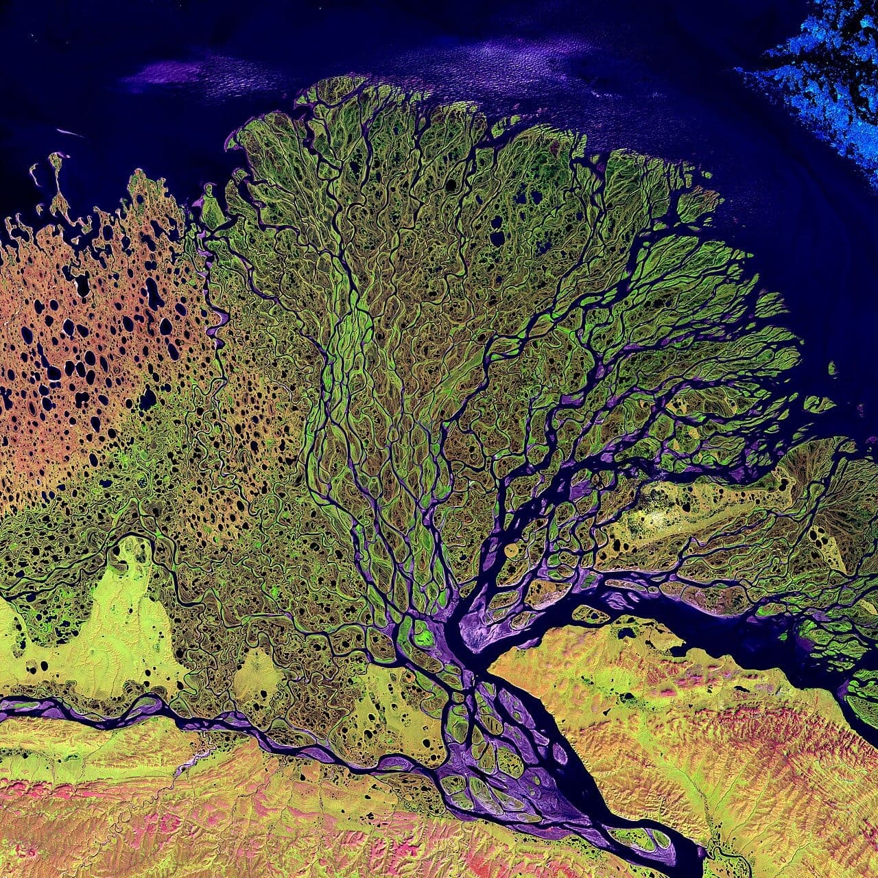
NASA and the U.S. Geological Survey (USGS) jointly manage Landsat, a series of Earth-observing satellite missions. According to NASA, the satellites have photographed the planet's land surface without interruption since 1972. The agency calls the resulting archive the most extended unbroken orbital record of the planet's land in existence.
Milestones and next mission
According to NASA, Landsat 9 completed the five years it was designed to operate on September 27, 2026. NASA has also released the Landsat 10 Spacecraft Request for Proposal, which could be reviewed on SAM.gov from July 14, 2026. The agency says Landsat 10 is expected to launch in 2031.
NASA also noted the death of John L. Barker on July 6, 2026, at age 88. The agency credits him with turning Landsat into a rigorous science mission through his push for precise calibration standards.
Economic value
NASA estimates that the freely available data added $25.6 billion to the U.S. economy in 2023 alone. Examples it gives of annual savings include:
- $300 million a year that farmers would otherwise pay toward flood cover, thanks to better maps made by the U.S. Department of Agriculture;
- nearly $20 million for the Idaho Department of Water Resources, from estimating well-water use;
- about $51 million in laboratory expenses, from water-quality monitoring that relies on Landsat;
- between $2 and $9 million in wildfire recovery work carried out by the U.S. Forest Service and the Bureau of Land Management.
Open access began in 2008, according to NASA, and the number of publications citing the data has risen steadily since.
Why scientists trust the archive
NASA calls Landsat the "gold standard" for medium-resolution satellite data, pointing to calibration work shared by teams at NASA and USGS. In its account, this lets scientists treat differences between images as genuine changes on the ground rather than data artefacts. To limit gaps in the record, each satellite carries spare equipment such as duplicate detectors and calibration lamps.
The program supplied visible and near-infrared imagery from 1972 and added longer-wavelength shortwave and thermal-infrared data in 1982, NASA says. Landsats 8 and 9 each sense three shortwave-infrared and two thermal-infrared bands.
Research example
NASA lists urban expansion, shifting coastlines, altered crop cycles and forest change among the topics studied with the archive. One February paper in Biogeosciences, by Feng and colleagues including four authors from NASA Goddard Space Flight Center, examined boreal forest from 1985 to 2020. According to NASA, it confirmed that forest cover has moved northward over four decades.
Sources
- NASA (Public domain (US government work))
- NASA Science (Public domain (US government work))
- NASA Science (Public domain (US government work))